professor-curious-logo

Geography Secrets That Shape Earth

Curated by Johan

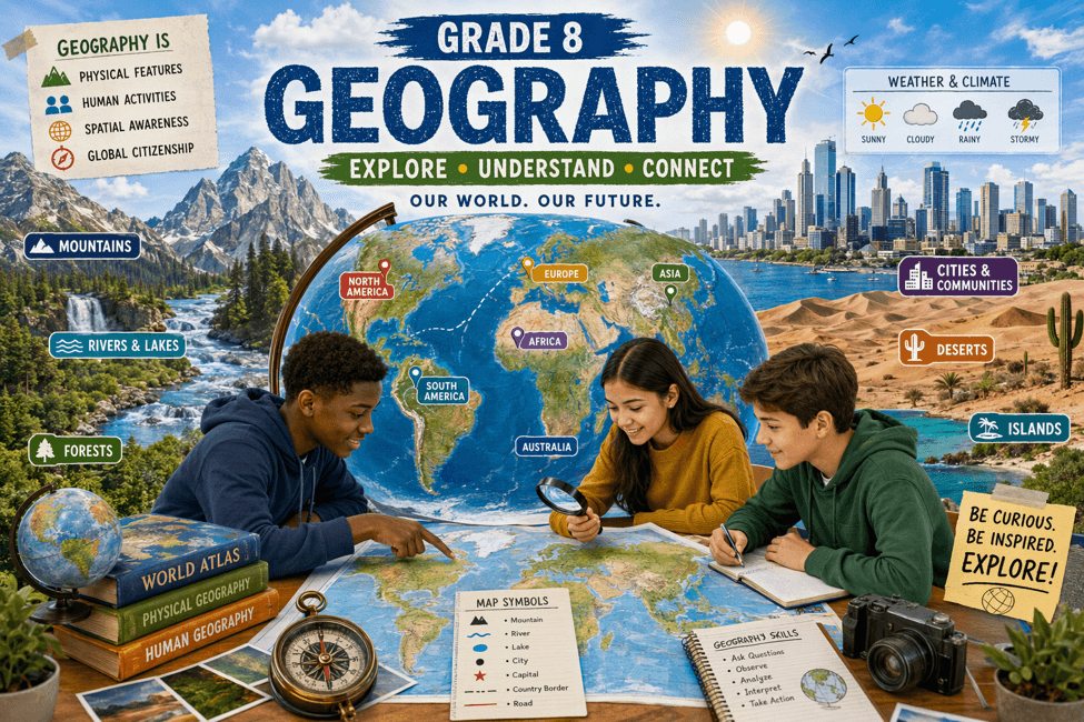
Geography is much more than memorizing maps—it is the story of Earth, its features, and the people who live on it. From high mountains and deep oceans to busy cities and changing weather, geography helps Grade 8 students understand why places are different and how humans depend on nature every day. In this article, you will explore:

  • how maps, globes, and directions help us locate places
  • how landforms, climate, and natural resources affect life
  • how people and the environment are connected By the end, you will see geography as a fun and useful subject that connects travel, science, environment, and real-world decision-making.

Frequently Asked Questions

A globe is a spherical 3D model of Earth, whereas a map is a flat 2D drawing of all or part of Earth. While globes accurately display Earth's true shape and continent proportions without distortion, they are bulky to carry. In contrast, flat maps are portable and show detailed roads, cities, and local routes, though projecting a round sphere onto flat paper causes slight shape or size distortions.

You calculate real-world distance by multiplying the measured distance on a map by the scale conversion factor. For example, if a map scale states 1 cm = 20 km and the ruler distance between two towns measures 5 cm, you multiply 5 by 20 to get 100 km in real life. Scale allows cartographers to shrink vast landscapes into readable, measurable paper guides.

You calculate real-world distance by multiplying the measured distance on a map by the scale conversion factor. For example, if a map scale states 1 cm = 20 km and the ruler distance between two towns measures 5 cm, you multiply 5 by 20 to get 100 km in real life. Scale allows cartographers to shrink vast landscapes into readable, measurable paper guides.

Weather is the day-to-day condition of the atmosphere at a specific time, while climate is the average weather pattern of a region over decades. A single rainy afternoon or cold morning describes current weather. However, if a geographic area remains consistently hot and humid across most years, that long-term average defines its tropical climate.

Weather is the day-to-day condition of the atmosphere at a specific time, while climate is the average weather pattern of a region over decades. A single rainy afternoon or cold morning describes current weather. However, if a geographic area remains consistently hot and humid across most years, that long-term average defines its tropical climate.

The climate of a region is primarily shaped by latitude, altitude, distance from the sea, and prevailing winds. Areas near the equator receive direct sunlight and stay warmer, while high-altitude mountains remain cooler. Coastal regions experience milder temperatures due to ocean breezes, and wind patterns dictate whether incoming air masses bring heavy rainfall or dry conditions across landforms.

The climate of a region is primarily shaped by latitude, altitude, distance from the sea, and prevailing winds. Areas near the equator receive direct sunlight and stay warmer, while high-altitude mountains remain cooler. Coastal regions experience milder temperatures due to ocean breezes, and wind patterns dictate whether incoming air masses bring heavy rainfall or dry conditions across landforms.

Landforms are natural physical features of Earth's surface, including mountains, plains, plateaus, valleys, and deserts. They directly shape human settlement, farming, and climate. For example, flat fertile plains provide ideal land for agriculture and cities, whereas tall mountains act as natural barriers that influence local rainfall and serve as the freshwater source for major river systems.

Landforms are natural physical features of Earth's surface, including mountains, plains, plateaus, valleys, and deserts. They directly shape human settlement, farming, and climate. For example, flat fertile plains provide ideal land for agriculture and cities, whereas tall mountains act as natural barriers that influence local rainfall and serve as the freshwater source for major river systems.

Renewable resources naturally replenish within a short time, whereas non-renewable resources take millions of years to form and permanently deplete. Sunlight, wind, and carefully managed freshwater are renewable assets that produce minimal pollution. In contrast, fossil fuels like coal, petroleum, and natural gas are finite non-renewable reserves that cause environmental harm when overused, making sustainable conservation essential.

Renewable resources naturally replenish within a short time, whereas non-renewable resources take millions of years to form and permanently deplete. Sunlight, wind, and carefully managed freshwater are renewable assets that produce minimal pollution. In contrast, fossil fuels like coal, petroleum, and natural gas are finite non-renewable reserves that cause environmental harm when overused, making sustainable conservation essential.

Map reading and resource conservation form core scoring areas in Grade 8 Geography assessments. Exam questions frequently test your ability to interpret legends, calculate scale distances, and differentiate between renewable and finite resources. Mastering these fundamental concepts helps students solve both practical mapwork questions and short-answer environmental case studies effectively.

Map reading and resource conservation form core scoring areas in Grade 8 Geography assessments. Exam questions frequently test your ability to interpret legends, calculate scale distances, and differentiate between renewable and finite resources. Mastering these fundamental concepts helps students solve both practical mapwork questions and short-answer environmental case studies effectively.